

Elevate Your Autonomous Operations
With ForeFlight's Developer Platform
Discover the power of our datasets tailored for AAM and UAS innovators. Transform how you integrate, analyze, and leverage low-altitude aviation data.
const response = await fetch('https://aadp.foreflight.com/v1/obstacles', {
  headers: {
    'x-api-key': 'YOUR_API_KEY'
  }
});

const data = await response.json();

// Sample Response
{
  "type": "Feature",
  "geometry": {
    "type": "Polygon",
    "coordinates": [
      [[-118.4176, 34.0611], [-118.4172, 34.0606], [-118.4169373, 34.0608446]]
    ]
  },
  "properties": {
    "building_id": "08b29a1998906fff",
    "type": "building",
    "highPoints": [{
      "coordinates": [-118.4173, 34.0610],
      "properties": {
        "HeightAboveGround_feet": 183.95
      }
    }]
  }
}
Powerful Solutions for Aviation Innovators
ForeFlight's developer platform provides specialized datasets and tools designed specifically for AAM and UAS operators.
Advanced Aviation Developer Platform
Our developer platform gives you on-demand access to trusted aviation datasets, so you can seamlessly integrate the data you need — when and how you need it.
- RESTful API access to aviation data.
- Developer documentation and SDK.
- Customized data integration examples.
High-Resolution Obstacle and Terrain Dataset
Our high-resolution obstacle dataset delivers precise, up-to-date 3D intelligence to help AAM and UAS operators plan safer, more efficient low-altitude flights.
- Detailed 3D obstacle mapping.
- Regular updates to ensure accuracy.
- Optimized for low-altitude flight planning.
Platform Features
Our developer platform includes a comprehensive set of features designed to accelerate your aviation innovation.
RESTful API Integration
Easy-to-use APIs with comprehensive documentation for seamless integration with your existing systems.
Real-time Data Updates
Access the latest aviation data with regular updates to ensure accuracy for mission-critical operations.
Customizable Data Feeds
Configure data feeds to match your specific operational requirements and integration needs.
Developer Support
Access to developer resources, sample code, and implementation guides to accelerate your integration.
Complete Aeronautical Data
Backed by Jeppesen's world-class NavData®, the most complete and accurate aeronautical information available.
Ready-to-Use GeoJSON
Connect to rich geospatial datasets with standardized GeoJSON outputs ready for immediate use.
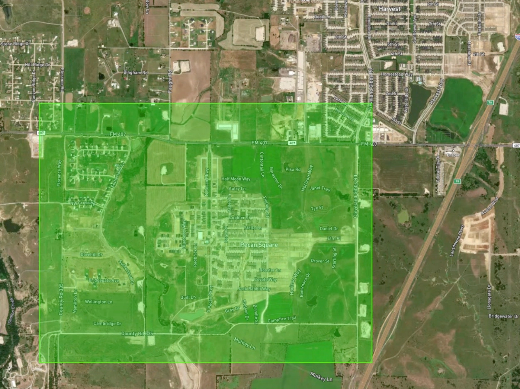
See Our Data in Action
Explore interactive examples of our aviation datasets and API responses.
API Response Example
{
  "type": "Feature",
  "geometry": {
    "type": "Polygon",
    "coordinates": [
      [
        [-118.4176923, 34.0611497],
        [-118.4172066, 34.060661],
        [-118.4169373, 34.0608446],
        [-118.4174229, 34.0613334],
        [-118.4176923, 34.0611497]
      ]
    ]
  },
  "properties": {
    "building_id": "08b29a1998906fff0200480d8ce97c57",
    "theme": "buildings",
    "type": "building",
    "building_version": 0,
    "height": 58.9,
    "height_units": "meters",
    "has_parts": false,
    "is_underground": false,
    "num_floors": 19.0,
    "auxilary_class": "helipad",
    "auxilary_subtype": "airport",
    "height_feet": 193.241476,
    "highPoints": [
      {
        "type": "Point",
        "coordinates": [-118.41737072657504, 34.06102254539539],
        "properties": {
          "HeightAboveGround_feet": 183.95
        }
      },
      {
        "type": "Point",
        "coordinates": [-118.41735916187044, 34.06096782000526],
        "properties": {
          "HeightAboveGround_feet": 184.05
        }
      },
      {
        "type": "Point",
        "coordinates": [-118.41729990303641, 34.0609690140121],
        "properties": {
          "HeightAboveGround_feet": 183.98000000000002
        }
      },
      {
        "type": "Point",
        "coordinates": [-118.4174064216962, 34.06101676139016],
        "properties": {
          "HeightAboveGround_feet": 183.89000000000004
        }
      }
    ],
    "source_h3": "8629a199fffffff",
    "obstacle_type": "buildings"
  }
}
Data Visualization
Get Early Access
Sign up to receive trial API keys and be among the first to explore our aviation datasets.
Trial API Keys
Get early access to our API and datasets.
Developer Support
Dedicated assistance from our developer team.
Influence the Future of Our Platform
Share feedback on the features that matter to you most.
About ForeFlight
Leading the Way in Aviation Technology
ForeFlight, a Boeing Company, is the creator of the leading integrated flight application for pilots, airlines, flight departments, aircraft operators, military, government, and aviation services.
Our Developer Platform extends our industry-leading aviation data and technology to enable AAM and UAS innovators to build the next generation of aviation solutions. With our high-resolution obstacle and terrain datasets, you can ensure safer, more efficient low-altitude operations.
About Jeppesen
Global Navigation Intelligence for a New Era of Aviation
For over 85 years, Jeppesen has made it possible for pilots and their passengers to safely and efficiently reach their destinations. Today, this pioneering spirit continues as Jeppesen delivers transformative solutions to improve the efficiency of air operations around the globe.
Jeppesen's NavData® is used by airlines, corporate flight departments, and almost every major avionics manufacturer in the world. To maintain unrivaled global coverage, every 28 days up to 47,000 pieces of source data are reviewed from 195 countries, and analysts meticulously edit and verify an average of nearly 600,000 database transactions.